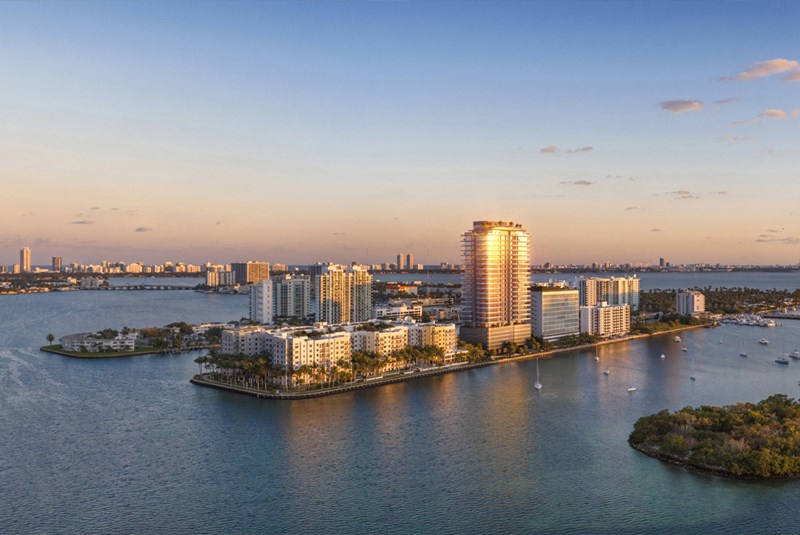
Top Miami Beach Neighborhoods Ranked for Public Transportation

May 01, 2019 May 01, 2019
The reality is that for the typical visitor or resident of Miami Beach, they come to walk, bike, skateboard, and scooter around town, but it’s still important to know you public transit options.
Getting around any city becomes that much easier when you have multiple public transportation options at your disposal. Miami, for one, has an intricate public transportation system that includes options like the Metrobus, Metrorail, Metromover, Tri-rail and the Trolley. In this blog, we’ve ranked the top Miami Beach neighborhoods on the basis of their ease of access to public transit systems, making it easier for tourists and locals to know how to cruise this coastal city.
The reason you won’t see a super high score for any of these neighborhoods is because the only public transportation options are street-based (trolley and bus) without dedicated or preferred lanes as opposed to any public-transit-only lanes or dedicated systems like rail. Plus, the only public transit in and out of the city to the mainland is the Metrobus. That is partially by design as the residents of the City of Miami Beach figure the beach is popular enough, why make it any easier to get there :)
All scores have been sourced from walkscore.com. To arrive at the most accurate scores for residents, we’ve picked the most centrally located condo building in each neighborhood to power our search.
9. Sunny Isles Beach
(From Chateau Beach Residences)
Public transit score – 45
This branded condo corridor features last on our list, since it only has the Metrobus for public transit (no trolley). However, multiple routes of the Metrobus help residents get to North Beach, the Aventura Mall, Hallendale Beach, Golden Glades West Park and even the Adrienne Arsht Center Metromover station.
You can find detailed Metrobus transit system maps, with the complete routes and schedules here. For a map of the free Miami Beach Trolley loops, click here. You can also get access to a bunch of mobile apps to track the trolley live, find parking spots and more here.
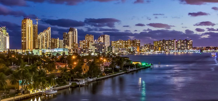
Sunny Isles Beach
8. Venetian Islands
(From The Vistas)
Public transit score – 47
The exclusive Venetian Islands feature very few public transit options, giving it the second lowest score on our list. The South Beach loop of the free trolley service only extends to Belle Isle. Further, there is only one bus route (101 A) that goes through the Venetian Islands, connecting the islands to Sunset Harbor in South Beach and the Omni terminal in Downtown.
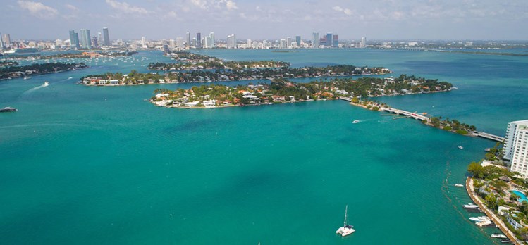
Venetian Islands
7. South of Fifth - South Beach
(From Cosmopolitan)
Public transit score – 51
The neighborhood south of 5th street comes surrounded by stops on the South Beach loop of the free Miami Beach trolley service. The only reason it ranks so low on the list is because of its deep-seated location that just makes it take longer to reach the rest of the beach areas. Owing to the Metrobus, the neighborhood connects to the Mt. Sinai Medical Center, Adrienne Arsht Center Metromover, Civic Center Metrorail station, the bus terminal at Aventura Mall, and even the airport station.

South of Fifth (SOFI) - South Beach
6. Sunset Harbour - South Beach
(From Sunset Harbour)
Public transit score – 53
Just north of Dade Boulevard, tucked in the western corner of South Beach, is this mini-neighborhood. Considering the size of this neighborhood, it comes very well connected. The tiny neighborhood has direct access to both the South Beach and Middle Beach loops on the free Miami Beach trolley service map. These loops further connect to the Collins Express and North Beach loops for full access to the rest of Miami Beach. The Metrobus services routes leading up to the Mt. Sinai Hospital and Adrienne Arsht Center Metromover station.
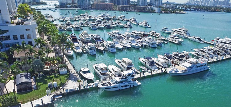
Sunset Harbour
5. West Avenue - South Beach
(From Monad Terrace)
Public transit score – 53
Sandwiched between Alton Road and the Bay is this mostly residential sliver. This western corridor is serviced by the South Beach Loop of the free Miami Beach trolley service. The loop further connects to the Collins Express loop, Middle Beach loop and North Beach loop for access all the way up to Normandy Drive and North Miami Beach. On the Metrobus routing, expect connections to the Mt. Sinai Hospital, Adrienne Arsht Center Metromover, Civic Center Metrorail station, Government Center, Sunny Isles Beach and the bus terminal at Aventura Mall.
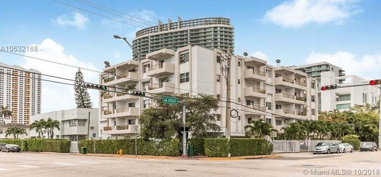

West Avenue - South Beach
4. Mid-Beach
(From Blue Diamond)
Public transit score – 55
This is the northern stretch of Mid-Beach that begins at the iconic Fontainebleau and goes up to W 63rd street. This part of the neighborhood ranks a tad bit lower only because of its upward placement on the loop. However, it is serviced and connects to all of the stops and connections mentioned for the Faena District above.
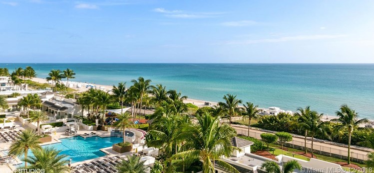
Mid-Beach
3. Faena District - Mid-Beach
(From Faena House)
Public transit score – 59
This southern part of Mid-Beach (up to the Fontainebleau) is home to the Faena District, with its condos, two hotels, cultural center, theater and upcoming Bazaar. The free Miami Beach trolley services the entire neighborhood on the Middle Beach loop, which further connects to the Collins Express and South Beach loops to travel north and south. Even the Metrobus route features multiple stops with connections to Lincoln Road Mall, the Mt. Sinai Medical Center, South of Fifth, South Pointe Dr, the Northside Metro station, Tri-Rail Metro station, Hialeah metro station, Adrienne Arsht Center Metromover, Civic Center Metrorail station and Airport station.
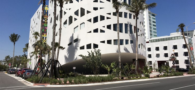

Faena District. Photo Credit: Phillip Pessar
2. Ocean Drive - South Beach
(From Il Villaggio)
Public transit score – 59
Ocean Drive, or the stretch sandwiched between the world-famous Lummus Park & Beach and Collins Avenue, is best known for housing Miami’s legendary nightlife and historic Art Deco district. Exploring the rest of Miami Beach gets easier from the Ocean Drive neighborhood because its free trolley service extends to all the other loops (North Beach, Middle Beach and South Beach) via the Collins Express route. Even the Metrobus has multiple stops with connections all the way to Downtown’s Adrienne Arsht Center station, Sunny Isles Beach and the bus terminal at Aventura Mall.
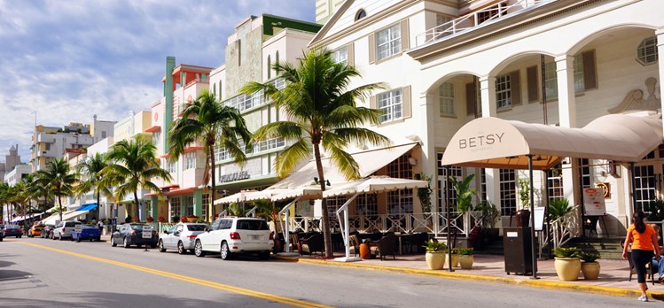
Ocean Drive - South Beach
1. Lincoln Road - South Beach
(From Decoplage)
Public transit score – 60
Lincoln Road is not just known for its world-class outdoor shopping mall and people-watching, but also has the highest public transit score of Miami Beach. This is majorly because the neighborhood comes surrounded by multiple stops on the Free South Beach Loop Trolley that makes it super easy to just hop on and cruise to any part of Miami Beach. The neighborhood also has Metrobus routes linking all the way up north to Sunny Isles Beach, across to the Airport Expressway, and the Tri-Rail station.

Lincoln Road - South Beach
Is Miami Beach the best in terms of public transportation options?
While Miami Beach definitely holds the advantage of running the Free Miami Beach Trolley, it has pretty limited public transportation options when compared to most major cities. But, again, most people come to Miami Beach for an active lifestyle, so put on your walking shoes or sandals and go! :)
Cover photo credit: Miami-Dade-County
Share your thoughts with us
Your Miami Condo Awaits
Recent Posts


